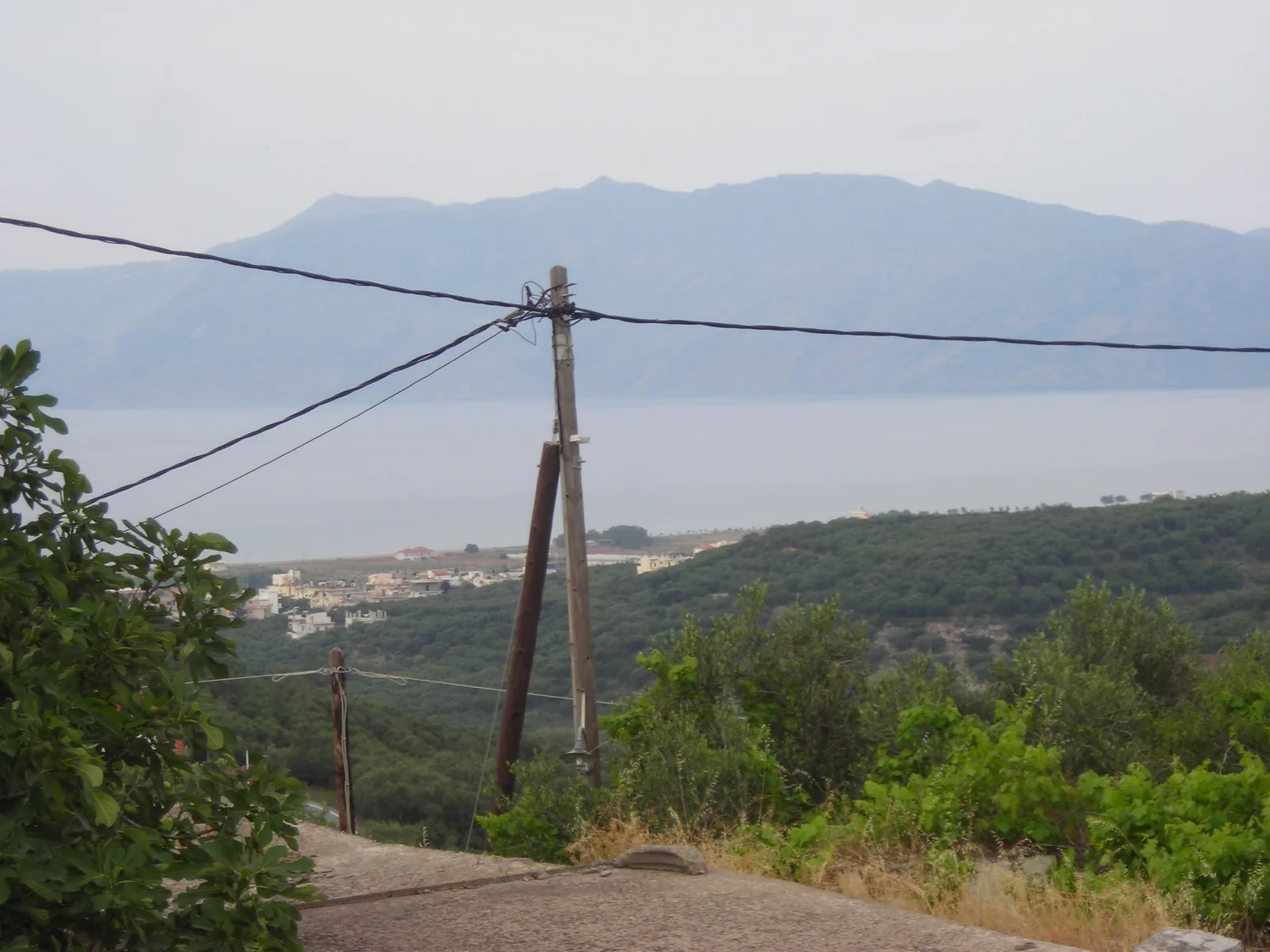
West Crete, between Kissamos and the historic landscape of Polyrrhenia.
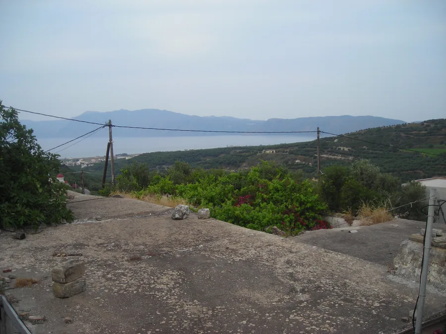
Kato Palaiokastro offers the quiet character of a small Cretan settlement, with open views towards the Gulf of Kissamos and the sea approximately 2 km away in a straight line.
Kato Palaiokastro · Kissamos · Chania · Crete
More than a point on the map.
Kato Palaiokastro sits within a landscape shaped over centuries by settlement life, movement, agriculture, stone architecture and the historic relationship between Kissamos and Polyrrhenia.
A village with its own history.
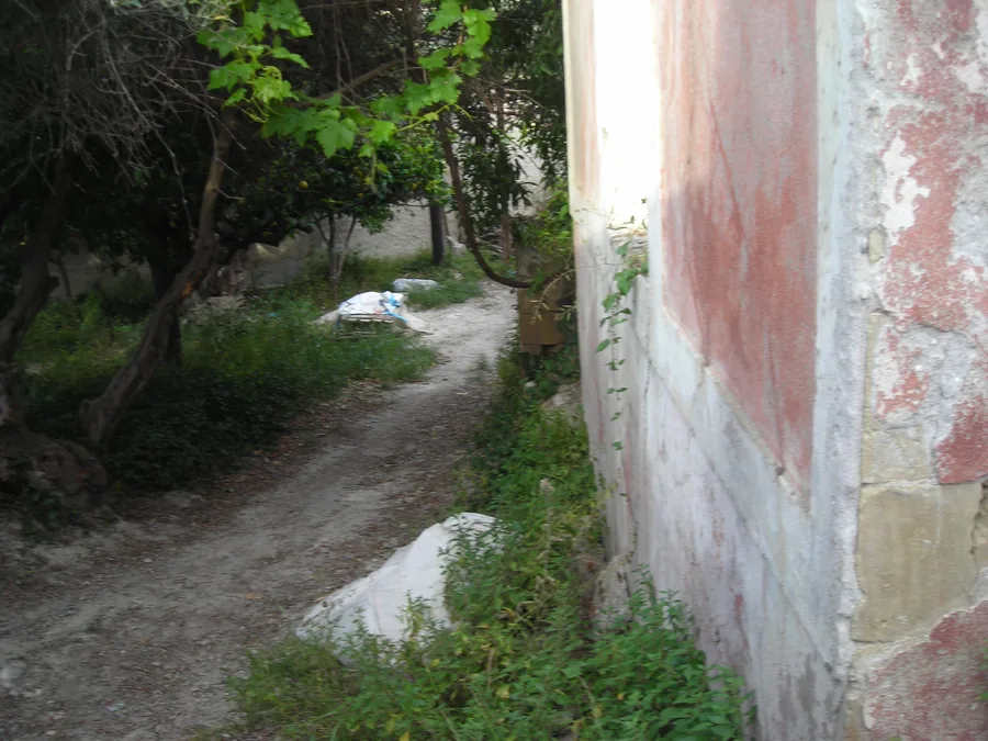
Located approximately 2.5 km from Kissamos, Palaiokastro has retained the scale and structure of a small Cretan settlement. An architectural study by the School of Architecture of the National Technical University of Athens describes the cobbled access into the village as one of its characteristic elements and notes that many internal paths and passages developed through everyday movement within the settlement. [1]
Its administrative history is also documented. In 1926, Kato Palaiokastro became the seat of its own community, with nearby settlements incorporated in the following years. [2]
Agriculture shaped everyday life.
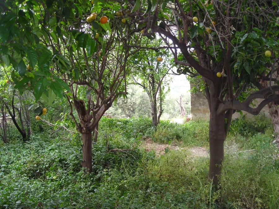
Historical records from the mid-20th century describe the then Community of Kato Palaiokastro as a rural community of around 600 residents, with an economy strongly defined by olive cultivation, olive oil, wine, cereals, almonds, chestnuts, citrus fruit, vegetables and livestock. [3]
The same record lists approximately 35,000 olive trees and annual production figures of around 200,000 okades of olive oil and 300,000 okades of wine, alongside cereals and other agricultural products. These figures refer to the wider historical community, not to the house itself. [3]
A documented continuity of place names.
Until 1940, the present-day settlement of Polyrrhenia was officially known as Epano Palaiokastro — Upper Palaiokastro. In September 1940, both the settlement and its community were formally renamed Polyrrhenia. [2]
Set within the historic landscape between Kissamos and Polyrrhenia.
Ancient Polyrrhenia
Approximately 6 km south of Kissamos, ancient Polyrrhenia developed into one of the major ancient centres of western Crete. Its archaeological remains include fortifications and developed water-management infrastructure. [4]
For Cretan Stone House, Polyrrhenia provides historical and cultural context — not provenance.
A historic inland corridor still in use.
The European E4 long-distance walking route leaves Kissamos heading south through Kato Palaiokastro, then continues through Korfiana and Grigoriana before reaching Polyrrhenia. The official Kissamos route records Kato Palaiokastro directly on this section of the trail. [5]
Architecture shaped by material and use.
The National Technical University of Athens selected Grigoriana–Palaiokastro for its programme on the architectural analysis of traditional buildings and settlements. The study examines stone construction, roof forms, fireplaces, ovens, built-in cupboards and wall niches among the regional building vocabulary. [1][6]
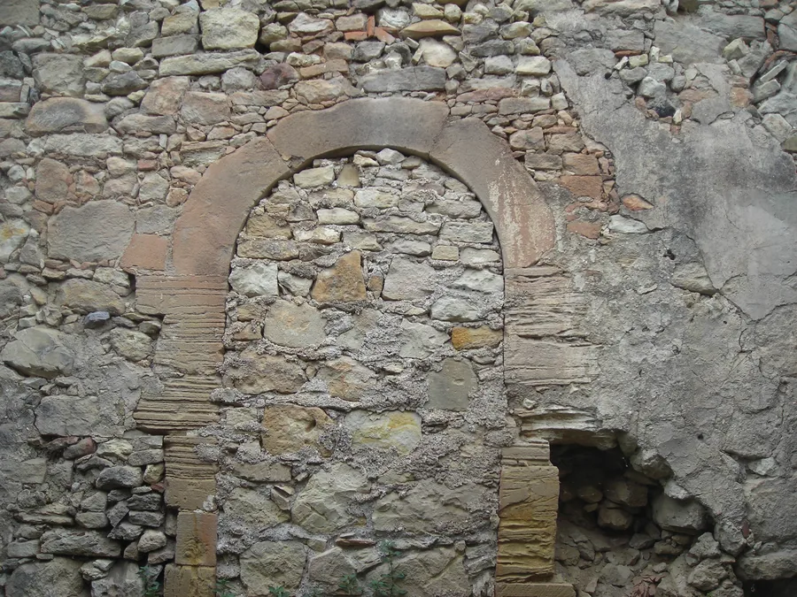
This regional context is relevant to the surviving masonry, arches and built-in niches of Cretan Stone House. It does not justify assigning the house a specific period or style without further architectural investigation.
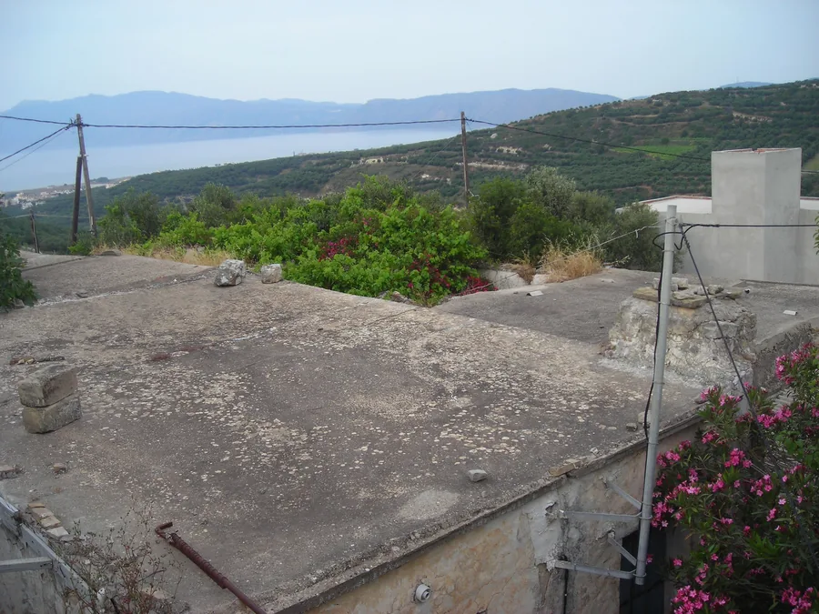
Close to the sea. Rooted in the inland landscape.
The property lies approximately 2 km from the coastline in a straight line and enjoys open views towards the Gulf of Kissamos. Road access to the coast is approximately 3 km.
Within only a few kilometres, the landscape moves from the Gulf of Kissamos through agricultural settlements and traditional stone architecture towards the archaeological landscape of Polyrrhenia.
Close to a functioning town, but rooted in an older inland landscape.
A history with sources.
National Technical University of Athens — School of Architecture
Architectural Analysis of Traditional Buildings and Settlements: Grigoriana–Palaiokastro
https://5a.arch.ntua.gr/project/12923/13306 ↗EETAA — Administrative Changes
Official administrative history of Kato Palaiokastro / Epano Palaiokastro / Polyrrhenia
https://eetaa.gr/eetaa/metaboles/nommet_details.php?id=5 ↗Michail Anastasakis — Ai Axiai tis Kissamou, 1954
Digitised historical volume — Municipal Library of Chania
https://repository.librarychania.gr/tekmirio/bi00277/ ↗
Direct digitised PDF ↗Municipality of Kissamos — Ancient Polyrrhenia
Archaeological and cultural context
https://discoverkissamos.com/el/arxaiologikoi-xoroi/archaia-polyrrinia/ ↗Municipality of Kissamos — European E4 Route
Kissamos · Kato Palaiokastro · Korfiana · Grigoriana · Polyrrhenia
https://discoverkissamos.com/el/diadromes/diadromi-e4/ ↗National Technical University of Athens — Regional Architectural Elements
Stone construction and regional architectural vocabulary
https://5a.arch.ntua.gr/project/12923/13322 ↗